You are here
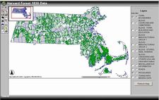
1830's Massachusetts Revealed With New Interactive Interface
In 1830 the State of Massachusetts mandated that each town complete a town map. These maps often show woodlands, roads, and  important buildings, providing a unique look at the landcover and cultural features of Massachusetts over 170 years ago.
Click here for more information about these maps.

