You are here
Aerial exploration: Research on the management of Maine's north woods
By Lynda Mapes, Harvard Forest Charles Bullard Fellow
The northern forest of Maine is unique – some ten million acres of forestland that is mostly privately owned, and never converted to agriculture or development other than for forestry. This is a young forest. Outside of parks, nearly all the old growth of this forest was cut long ago and the rest has been repeatedly logged – some of it as much as six times. Long gone is the hand logging and river drives that most people associate with the lore of the north Maine woods. Today, logging is done by massive equipment operated by a single person, and the biggest log taken in a day might be 11 inches in diameter. Most will be far smaller, and chipped for pulp. If you want to know where America gets its toilet paper and paper towels and 2 x 4s, this is your answer.
What is the future of this forest? And what does it look and feel like?
To find out, Bullard Fellow Lynda Mapes and Harvard Forest Resaerch Director and Senior Ecologist Jonathan Thompson chartered a seaplane to go see it for themselves, both from the air and on the ground. They had overlapping missions. Lynda, to get a sense of this place and its people for the book she is writing as her Bullard project, and Jonathan, as a start on his collaboration funded by the National Science Foundation that will bring together a range of voices to vision the future of this forest. With co-principal investigator John Daigle, a citizen of the Penobscot Nation and professor of forest recreation management at the University of Maine, Thompson will be working to bring not only science but community voices to this research.
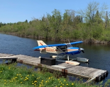
But job one was to see this forest. The pilot was Thomas Coleman, a lifelong Mainer who works for LandVest, a forestry company. His four seater with floats was just the thing to pop up into the air from his base at Jackman, Maine, but also put down to explore the landscape. And for two days, explore they did.
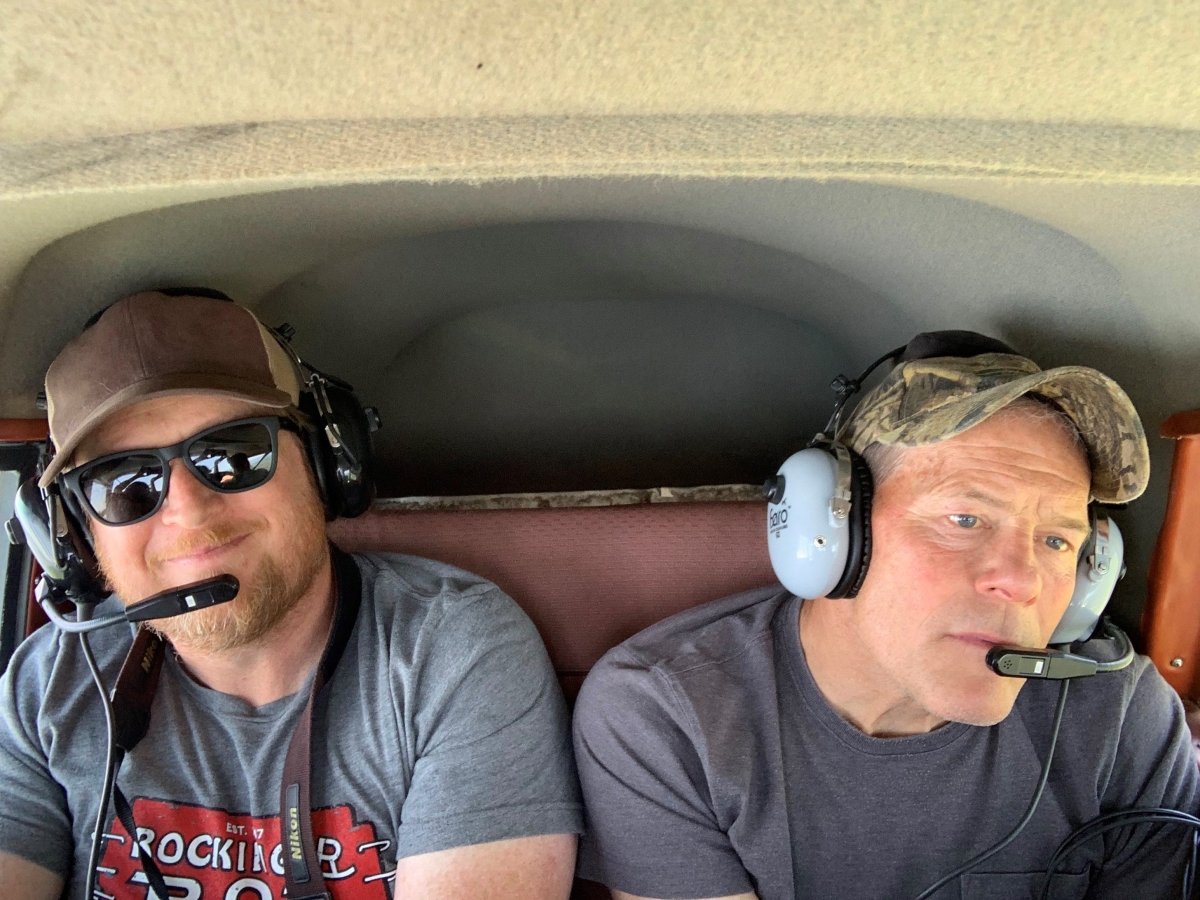
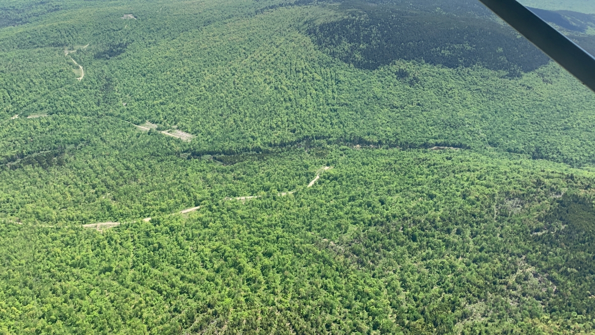
Lucky with perfect weather, Coleman on the first day toured Thompson, Mapes and former Bullard Fellow Bob Saul over a range of ownerships and cuts to get a feel for how the forest looks. There were ragged clear cuts, herringbone-patterned partial harvests, and importantly, the grand expanse of The Nature Conservancy’s uncut old growth forest, the Big Reed Forest Preserve, to provide a sense of contrast. Perhaps the biggest surprise was the diversity of tree species, the sheer size of the forest, stretching to the horizon, and how good so much of it, for all its hard use, still looks.
 Obvious right away was the continental, even global importance of so large an expense of forestland, still mostly devoid of towns, houses, or even paved roads. In a planet facing a biodiversity and climate crisis, what is the highest and best use of this place, that also provides fiber and rural jobs in a world that needs both?
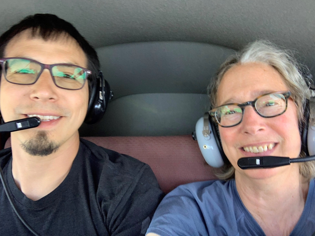
On the second day of the flights, Lynda went up with Chuck Loring, a Penobscot tribal member and Natural Resources Director for the Penobscot Nation, and Ben Stevens, a Passamaquoddy tribal member, and the Penobscot tribe’s Forestry Director, to hear and see the tribe’s approach to forest management. This was to complement ground tours Lynda had already made of the tribe’s forestlands with Stevens and Loring a few weeks earlier. Loring and Stevens represent a new generation of young tribal land managers, professionally trained in forestry but also bringing the cultural perspective and management direction of the tribal council they work for to bear in decision making on harvests. Timber revenue is important to the tribal budget – but so is the long term stewardship of these lands.
Perhaps that was the biggest takeaway of two days of touring – that the fate of this forest is directly tied to the values of the landowners who manage it.
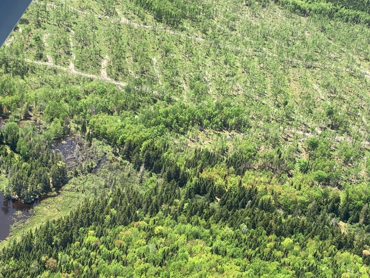
An industry cut leaves a herringbone pattern on privately-owned timber lands (above), whereas Penobscot tribal trust land shows evidence of a lighter harvesting approach (below). Photos by Lynda Mapes.
